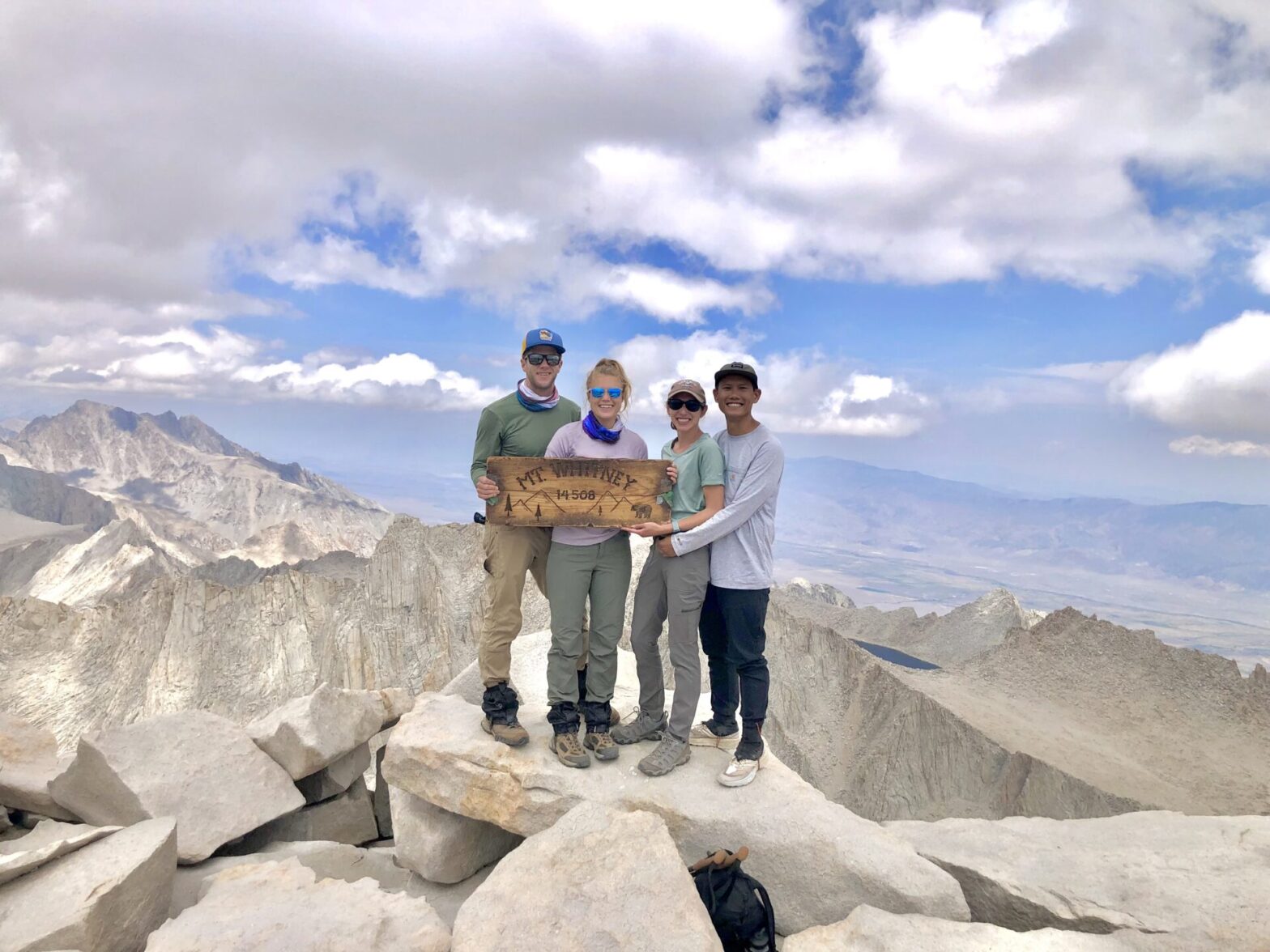
Some adventures come together by chance, while others take months of planning and persistence. Our Mount Whitney day hike combined both. We didn’t hit the permit jackpot on our first try, but when web reservations opened up, we got lucky and scored day hike permits. From there, we spent months training – early mornings, long trail days, and endless uphill climbs built the physical and mental grit. What started as a wild idea —summiting the highest peak in the lower 48 in just one day —slowly became something within reach. This adventure was crossing off a bucket list goal and proving that with determination, consistency, support, and courage, the impossible becomes possible.
Craving a challenge that will redefine what’s possible? Mount Whitney is calling you. The journey is more than a climb and stunning view – it’s a reminder of your strength, your resilience, and everything you’re capable of becoming. And somewhere along the trail, you may meet the version of yourself who believes anything is possible.
Destination Insights
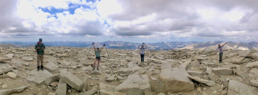
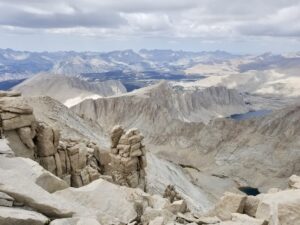
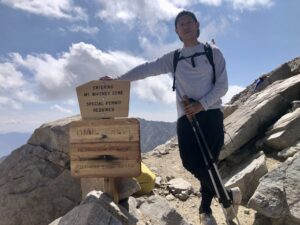
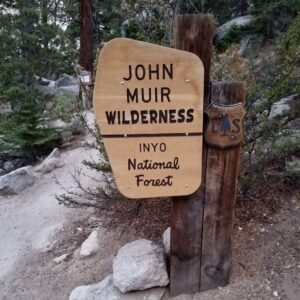
Mount Whitney is located in the Sierra Nevada mountain range within California’s Inyo National Forest. As the tallest mountain in the contiguous United States, towering at 14,505 feet, summiting the peak is a coveted challenge among hikers, mountaineers, and outdoor enthusiasts.
History
Mount Whitney was named after Josiah Whitney, a geologist and the chief of the California Geological Survey in the 1860s. The first recorded ascent was made in 1873 by a team of three fishermen—Charles Begole, A. H. Johnson, and John Lucas—who were intrigued by local stories of the towering peak. Today, thousands of hikers attempt to reach the summit each year, with only a fraction making it due to the strenuous nature of the hike and the need for permits.
Flora & Fauna
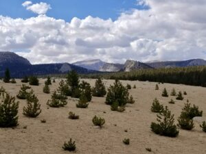
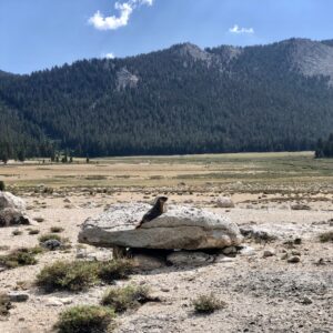
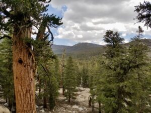
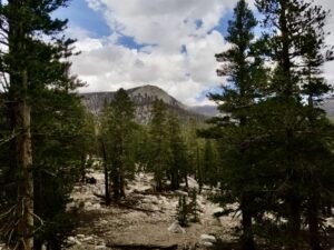
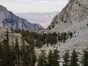
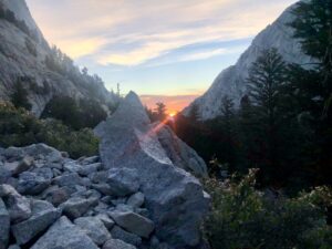
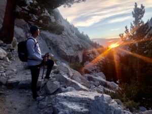
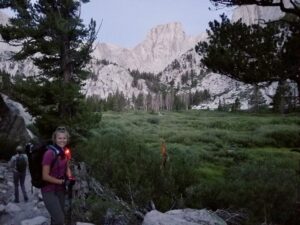
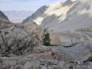
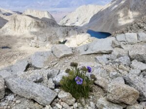
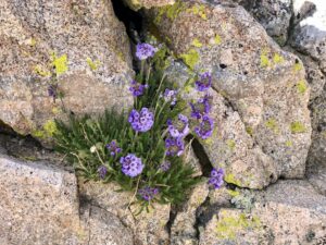
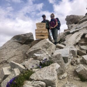
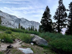
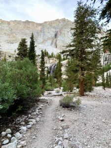
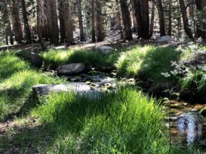
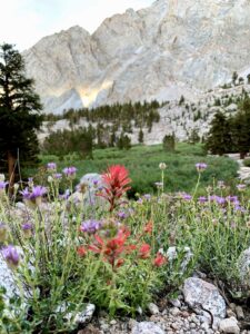
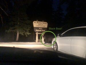
The lower stretches of the trail wind through groves of lodgepole and foxtail pines, offering welcome shade and flashes of green against the rugged granite. Wildlife sightings often include marmots, pika, mountain goats, and even the occasional black bear. We had a very close encounter with a black bear roaming the parking lot on a snack mission — so be sure to store food properly and keep your distance. As elevation increases, the vegetation thins leaving hardy plants like sky pilot flowers. Near the summit, the silence is often broken by the graceful sweep of vultures soaring overhead—reminding you just how high you’ve come.
Weather
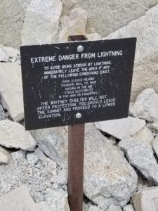
Weather near Mount Whitney can be unpredictable. Summer brings generally stable conditions, but temperatures can vary widely. In July, we started at Whitney Portal around 45°F, warmed up to 65°F at Outpost Camp, then felt temps drop back ~50°F as we summited. Afternoon thunderstorms are common, which is why we made an early start at 3:30am for a safe ascent and descent. Winter attempts require mountaineering experience, as heavy snowfall and icy conditions transform the trail into a technical climb.
Planning & Preparation
Permit
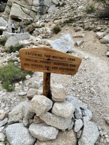
There are several paths to reach the summit of Mount Whitney. Whether you’re doing day trips or overnighters, permit reservations are required and can be tough to secure. The four of us each applied for permits, however we didn’t win the lottery on our first try. We got lucky and scored day hike permits when web reservations opened up. Pro Tip: Set an alarm so you can log in the moment reservations open. Pick your date, then keep clicking—seriously, try 30+ times. With a little patience (and luck), you just might land your spot on the mountain too.
Trail
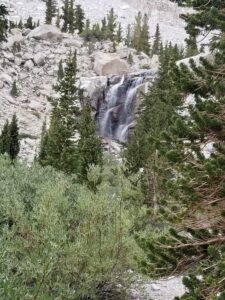
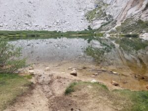
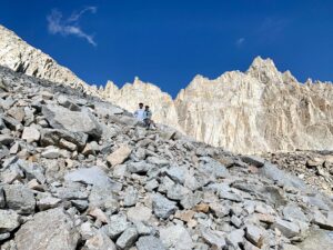
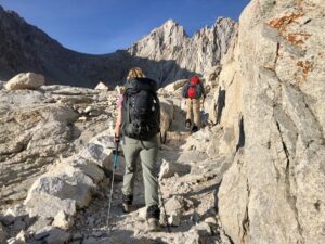
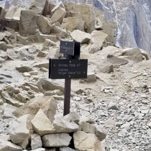
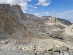
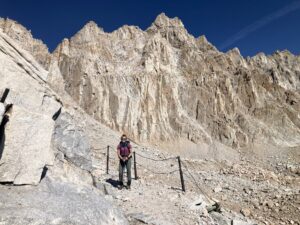
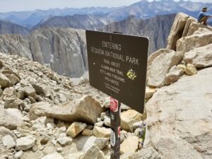
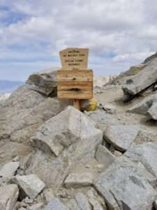
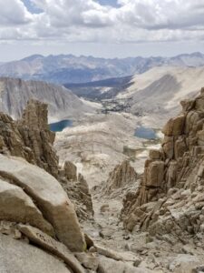
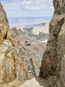
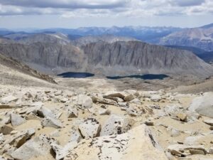
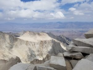
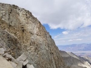
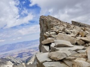
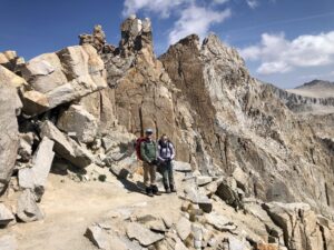
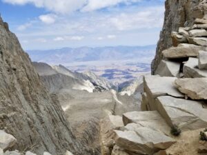
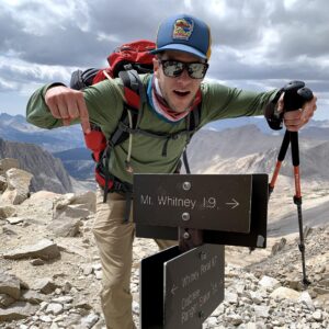
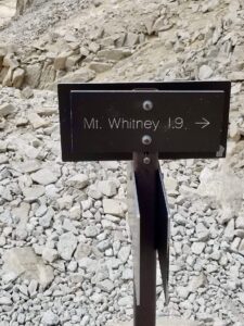
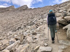
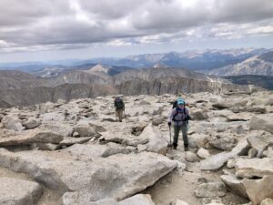
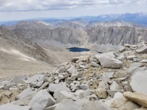
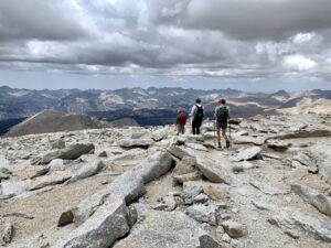
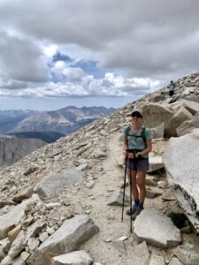
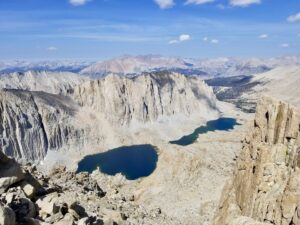
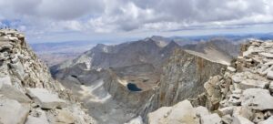
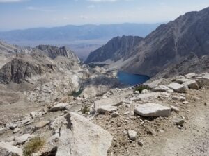
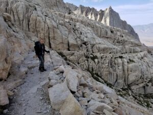
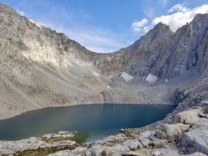
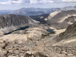
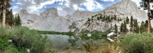
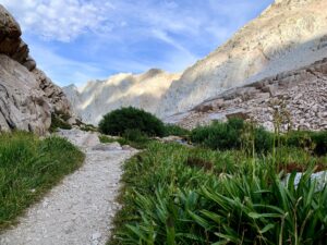
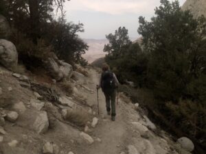
We took the 22-mile round day trip route from Whitney Portal. The trail begins with a steady climb through forest to Lone Pine Lake (~10,000 ft), then continues past scenic alpine terrain to Trail Camp (~12,000 ft), a common overnight stop for backpackers. Next come the infamous 99 switchbacks—an exposed stretch that gains serious elevation quickly. After reaching Trail Crest (~13,600 ft), the path follows a rocky ridgeline to the summit. Whether done as a long day hike or overnight backpack, this trail is a challenging and rewarding journey.
Training
Before our Mount Whitney summit, we spent months building up our endurance and elevation exposure. Our training included long day hikes like Mount Baldy (11 miles), Ontario Peak (13 miles), and San Gorgonio Mountain (18 miles). We also backpacked the Lost Coast Trail (17 miles) to prep for long mileage with full packs too. This foundation gave us the physical strength and mental grit we needed to take on Mount Whitney safely and confidently.
Travel Guide
Day 1
| Time | Activity |
|---|---|
| Morning | • Roadtrip (4.5 hours): Irvine, CA to Mount Whitney region |
| Afternoon | • Lunch at Alabama Hills and Bakery: Sandwiches were delicious and made for the perfect grab-and-go meal. • Hike the Cottonwood Lakes Basin Trail (2 miles): The surrounding Horseshoe Meadow area is gorgeous! |
| Evening | • Campfire Dinner: Grilled sausages, roasted veggies, and s’mores under the stars. • Night at Cottonwood Lakes Campground. Pro Tip: At over 10,000 ft, this spot was ideal for adjusting to elevation. Three out of the four of us felt mild altitude symptoms here—so it definitely helped acclimate us for summit day. |
Day 2
| Time | Activity |
|---|---|
| Morning | • Breakfast at camp: Bagels and fruit to start the day right. |
| Afternoon | • Stroll around Lone Pine: Window-shopped along the main strip and picked up last-minute supplies at Lone Pine Market. • Lunch at McDonalds: Easy and quick. |
| Evening | • Dinner at Airbnb: Loaded up on carbs with pasta and garlic bread. • Night at Airbnb: We booked two nights here and were glad we did—there were reports of black bears breaking into cars, so it was great to leave our gear safely inside. |
Day 3
| Time | Activity |
|---|---|
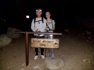
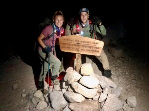
| Morning | • Breakfast at Airbnb: Alarms went off at 2:30 AM, then we were out the door by 3 AM. • Roadtrip (30 mins): Lone Pine, CA to Whitney Portal. We arrived at the Whitney Portal Trailhead around 3:30 AM. • Hike Mount Whitney: We started our ascent just before 4:00 AM, headlamps lighting the way. Pro Tip: LED silicone bike lights were great to strap on to the backpack and illuminate the way! |
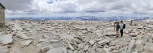
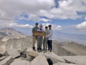
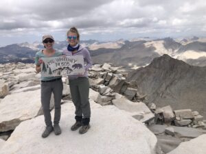
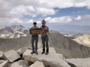
| Afternoon | • Summit Mount Whitney: After hours of climbing, we reached the summit around 12:30 PM —exhausted, emotional, and in awe. Pro Tip: Keep an eye on the weather in every direction. We didn’t stay long at the top due to strong winds, gathering clouds, and the chance of a thunderstorm rolling in from the West. |
| Evening | • Dinner from Pizza Factory: Celebrated the only way that felt right—pizza and cold beer! • Night at Airbnb: Slept like rocks after a strenuous 22 mile hike. |
Day 4
| Time | Activity |
|---|---|
| Morning | • Breakfast at Airbnb: Oatmeal and coffee while reminiscing about favorite hike moments. |
| Afternoon | • Roadtrip (4.5 hours): Lone Pine, CA to Irvine, CA |
*We based our trip on One Best Hike: Mount Whitney by Elizabeth Wenk. If you’re planning a day trip or backpacking, we highly recommend this guide book!
Next Time Must Do’s
Would love to stay longer next time to soak in the alpine lakes and quieter trails, maybe swap the day hike for a backpacking trip from Cottonwood Pass. And we’re definitely making time to savor that post-hike burger and beer at the Whitney Portal Store!
Wilderness Wisdom
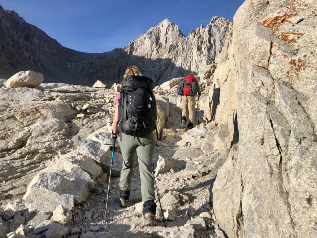
Hiking Mount Whitney is not a casual stroll—it is a serious undertaking The trail climbs more than 6,100 feet in elevation, making altitude sickness a real risk, even for the fittest hikers.
Altitude sickness, or Acute Mountain Sickness (AMS), is the body’s response to reduced oxygen levels at elevation. Symptoms often begin above 8,000 ft and can escalate quickly if not addressed. Common symptoms include dull headache, nausea, fatigue, dizziness, or shortness of breath you just can’t shake. Confusion, stumbling, or struggling to breathe at rest are red flags of High Altitude Cerebral or Pulmonary Edema (HACE or HAPE), conditions that require immediate descent and medical attention. Understanding the signs and how to respond can make all the difference in ensuring a safe summit.
How to Prevent and Manage Altitude Sickness:
- Acclimatize: Spend a night above 10,000 ft before your summit push. Many hikers camp at Trail Camp (~12,000 ft) to help their bodies adjust.
- Pace yourself: Go slow and take regular breaks, especially on the switchbacks. Slower is smarter at altitude.
- Check in often: Monitor how you and your group are feeling.
- Stay hydrated and eat smart: Drink water and electrolytes to stay balanced. Avoid alcoholic, caffeinated, or carbonated beverages and heavy meals 24 hours before summitting. Snack on high calorie foods frequency to replenish energy during hike.
- Consider medication: We found that taking low-dose aspirin the night before and during the hike helped ease symptoms. Some hikers also use acetazolamide (Diamox), but be sure to ask your doctor and trying this on a practice hike prior to summiting.
If Altitude Sickness Hits on the Trail:
- Stop and rest immediately if symptoms start. Pushing through will only make it worse.
- Descend to a lower elevation. Even walking 500–1,000 feet down can help relieve symptoms.
- Keep the person warm, hydrated, and calm.
- In case of emergency, activate a GPS device like a Garmin inReach compact satellite communicator. Help is never far when you speak up.
On a personal note, three of us felt common symptoms, such as, headache, nausea, and fatigue, while camping at Cottonwood to acclimate. On summit day, we checked in often and adjusted our pace from 25 to 45 minutes when needed. For two of us, the final half mile to the summit was the toughest, with symptoms creeping back in. The takeaway: altitude sickness can affect anyone, no matter how fit or prepared you are. What made the difference was staying aware, listening to our bodies, and hiking as a team.
Trailside Ties
One of the highlights of our trek was the meaningful conversations along the way. We prepared a list of conversation starter questions for each mile as a fun way to pass the time and strengthen our bond. Some questions included:
- “If you could be any animal, which one would you embody and why?
- “If you could relive any adventure, which one would it be?”
- “What’s one thing this hike is teaching you about yourself?”
By the time we completed our day hike, we had not only conquered the highest peak in the lower 48 but also gained a deeper understanding of each other.
Photo Journal

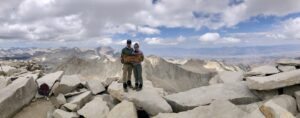
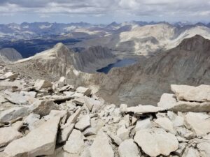
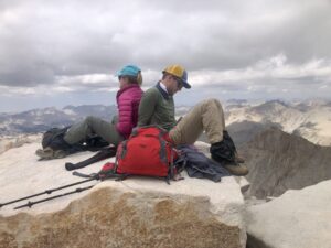
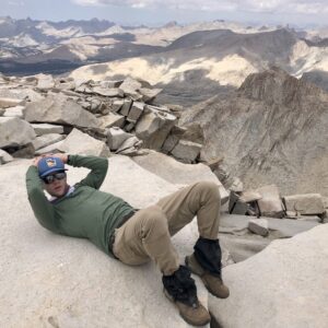


Summary
Our Mount Whitney day hike was a blend of beauty, challenge, and personal growth.The journey taught us that with resilience, preparation, and support, even the most intimidating goals are within reach. Summiting Mount Whitney isn’t easy — it’s earned mile by mile, step by step.
Have you hiked Mount Whitney or completed a bucket-list adventure of your own? Drop a comment below—we’d love to hear your story and cheer you on.
Music by: Bensound.com/free-music-for-videos (license code: DAHG8VT8C6FYQKAC)
